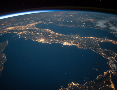
The Workshops of DRIC Defkalion for the presentation of advanced technologies in the sectors of Earth Observation, GIS Applications and Spatial Analysis were successfully completed
The first round of online Workshops of the Disaster Resilience Innovation Cluster – Defkalion (DRIC Defkalion) that took place from February 16 to March 16, 2022 in the framework of the Work Area “Earth Observation, GIS Applications, and Spatial Analysis” was successfully completed.
The seven fruitful Workshops were focused on innovative technologies and solutions for the prevention, response and remediation of environmental risks. The members of DRIC Defkalion presented key challenges in the sector as well as existing tools and solutions implemented for more effective management and response to natural disasters, environmental crises and civil protection emergencies, with specific examples in areas and application cases.
The recordings of the Workshops are available at the links below:
- “Multiple risk analysis using new technologies and Earth Observation data. Example of application in fuel mapping” by OMIKRON Environmental Consultants. Click here for the recording of OMIKRON’s Workshop.
- “The impact of climate change on coastal vulnerability to dormancy and erosion – Presentation of monitoring and mapping methods using earth observation data” by Consortis. Click here for the recording of Consortis Workshop.
- “Modern geospatial technologies in the management of forest fires” by the Laboratory of Forest Management and Remote Sensing of AUTh. Click here for the recording of the Laboratory’s Workshop.
- “Over time evolution of natural disasters and impact assessment using satellite technologies” by Epsilon Malta. Click here for the recording of Epsilon Malta Workshop.
- “Long-term monitoring of coastline change – problems in coastal settlements and ports” by Geosystems Hellas. Click here for the recording of Geosystem Hellas Workshop.
- “Multimodal fusion of EO and non-EO data for Big Data analytics” by the Information Technologies Institute, CERTH. Click here for the recording of the Institute of CERTH.
- “Monitoring and programming system for the collection of very high-resolution satellite images for the prevention-response-remediation of environmental hazards” by TotalView. Click here for the recording of TotalView’s Workshop.